
The Grid
By graham b. mcbride
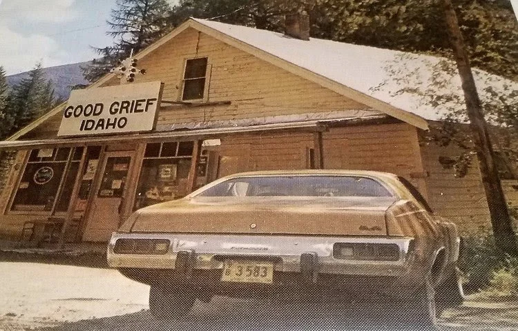
Way up north, in Idaho’s panhandle, four miles south of the Canadian border, there is a tiny community that’s better known as a joke than as a town. Good Grief, Idaho, gained fame from a 1970s Hee Haw sketch, which jokingly gave its population as "3 people, 2 dogs, and 1 old grouch". Off the highway, it only has one main intersection and no stoplights. Despite being in pretty much the middle of nowhere, the two roads in town come together at a neat angle: one road is east-west, parallel to the northern border, and the other runs perpendicular to it, north-south. This layout, reminiscent of the kind of city grid we see all over the United States, is so commonplace it’s almost unremarkable.
Just in our state alone, we see the same phenomenon repeated from Boise in the west to Rexburg in the east and Sandpoint in the north. The major intersections are usually a mile apart from one another. The same grid is reflected in the quilt-like pattern of farmland that fills most of Idaho’s plains. Even in the forests, private land and public land are usually delineated by straight fences regardless of the terrain. Hundreds of roads and thousands of miles of barbed wire preserve this regular grid. And at the center of it all is an unassuming mound of ancient lava in the Owyhee desert.
In the spring of 1867, the U.S. Surveyor General for Idaho, Lafayette Cartee, was tasked with creating a survey system for the then territory. His team, including his brother-in-law Peter W. Bell, was instructed to pick a starting point either on a "conspicuous mountain" or at a "confluence of streams". The wild, untamed and constantly fluctuating banks of Idaho’s rivers in the 19th century made them unsuitable as a permanent point of origin.
Idaho's unique panhandle shape added another challenge—the north-south line needed to cross the state's 479-mile length while staying within its slim 50-mile width in the north. Eventually, an uninspiring butte rising roughly 200 feet above the sagebrush flat lands was chosen. They named the hill Initial Point in reference to its new use as the point of origin for the land survey. From this point, the Boise Meridian runs north-south, and the Base Line runs east-west, forming the foundational grid for the entire state. Meridian Road, which lies along the north-south line, takes its name from it and has lent it to the city that grew up around it.
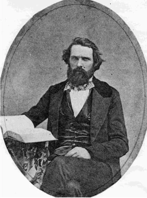
U.S. Surveyor General for Idaho, Lafayette Cartee
There are 37 Initial Points from Oregon to Florida, Ohio to Arizona. The specific landmarks vary greatly, but they exist as the physical points that tie the conceptual grid to the ground. This system, known as the Public Land Survey System (PLSS), has been in use across the country since 1785. It divides land into 6-mile by 6-mile squares called townships, which are further broken down into 1-mile square blocks known as sections (640 acres). To encourage westward expansion, the U.S. government used this system to grant free land. The Homestead Act of 1862, signed by President Abraham Lincoln, allowed citizens to claim a quarter-section (160 acres) of land for development of farms, mines and towns.
Good Grief may be known for its punchline, but the lines meeting at that humble intersection are no joke—they trace straight back to Initial Point's measured meridian. In the end, from that lonely butte to the state's farthest corner, the grid squares away the wilderness, proving that even the most unremarkable crossroads has its point.